


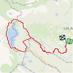


13.3 km | 19.3 km-effort

User


FREE GPS app for hiking
 SityTrail
IGN / Geographical institutes
SityTrail World
The world is yours!
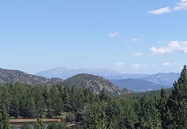
Trail Walking of 23 km to be discovered at Occitania, Pyrénées-Orientales, Les Angles. This trail is proposed by ThonyM.
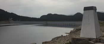
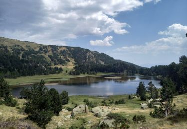
Pas de difficulté . Ca grimpe après les Bouillouses vers le lac. Si vous arrivez avant midi au restaure des Bouillouses, on ne sert pas de repas avant midi...


Walking

Snowshoes

Walking
Walking
Walking

Walking

Walking

Walking

Nordic walking